
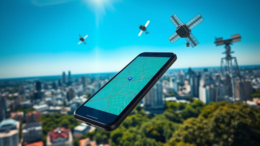
GPS works by using a network of satellites orbiting the Earth that constantly transmit signals. Your device listens for these signals and uses trilateration, measuring distances from at least three satellites to determine your location. The intersection of these distances pinpoints your latitude, longitude, and altitude. A fourth satellite can help improve accuracy by correcting any timing discrepancies. Knowing how these elements work together can give you a clearer picture of GPS technology’s fascinating capabilities.
Key Takeaways
- GPS relies on a network of satellites that transmit signals containing position and timestamp information for real-time location tracking.
- Devices calculate their position by listening to signals from at least three satellites using a method called trilateration.
- Trilateration determines location by intersecting spheres defined by distance measurements from multiple satellites.
- A fourth satellite improves accuracy by correcting timing discrepancies and refining position calculations.
- Environmental factors like buildings and weather can affect signal quality, impacting GPS accuracy, which is typically within a few meters in ideal conditions.
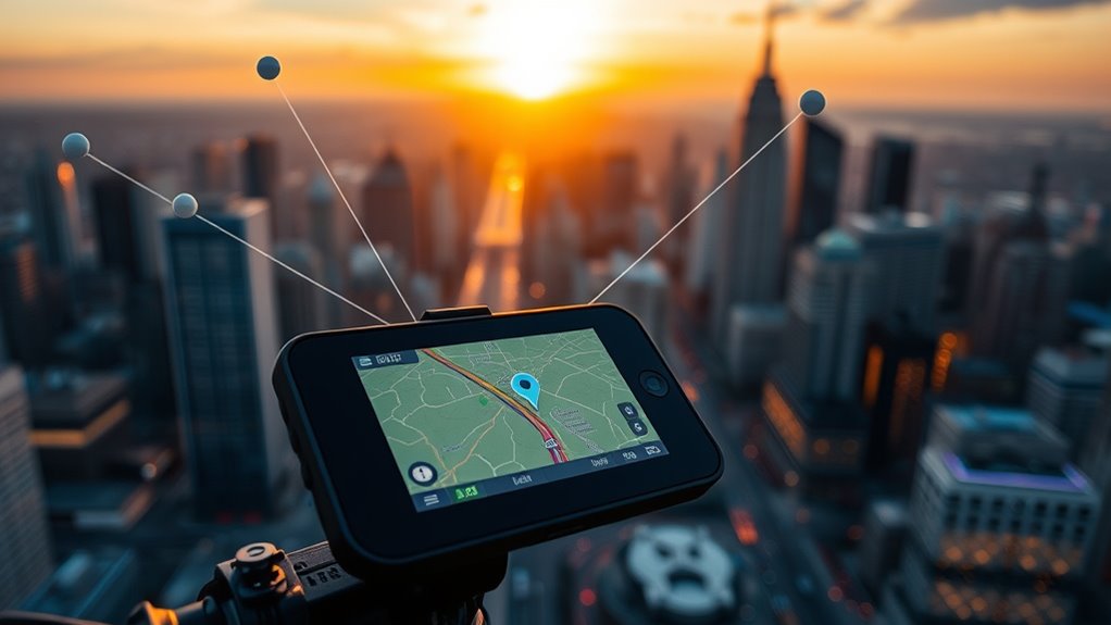
While you might rely on your smartphone or car navigation system to get you where you need to go, the technology behind GPS—Global Positioning System—works through a sophisticated network of satellites. These satellites orbit the Earth, constantly sending out satellite signals that can be picked up by your device. When you turn on your GPS, it listens for these signals to determine your exact location. This process is both fascinating and complex, and it’s essential to understand how it works to appreciate the technology you use daily.
To pinpoint your location accurately, your GPS device employs a method known as the trilateration process. This involves measuring the distance between your device and at least three satellites. Each satellite’s signal contains information about its position and the exact time the signal was transmitted. When your device receives these signals, it calculates how far away each satellite is based on the time it took for the signal to reach you. Since the speed of light is constant, this timing allows for precise distance measurements.
Your GPS device uses trilateration to measure distances from satellites, enabling precise location determination through signal timing.
Once your device has this distance data from at least three satellites, it can perform the trilateration process. Imagine each satellite as a point in space, and the distances create spheres around them. Your device is located at the intersection of these spheres, allowing it to determine your three-dimensional position—latitude, longitude, and altitude. When a fourth satellite’s signal is included, it helps refine the accuracy of your location by correcting any timing discrepancies.
It’s important to note that the accuracy of GPS can be affected by various factors. Buildings, trees, and even weather conditions can interfere with satellite signals, leading to less precise readings. However, in open areas with a clear view of the sky, your GPS can usually provide accurate location data within a few meters. Additionally, the technology behind GPS continuously evolves to enhance its precision and reliability in various environments.
Frequently Asked Questions
Can GPS Work Indoors or in Tunnels?
GPS doesn’t work well indoors or in tunnels because it relies on signals from satellites that can’t penetrate solid structures. For indoor navigation, you might need alternative systems like Wi-Fi or Bluetooth, which can provide more accurate positioning in confined spaces. Similarly, for tunnel positioning, specialized technology like inertial navigation systems may be necessary. So, while GPS is great outdoors, you’ll need other solutions for indoor or tunnel navigation.
How Accurate Is GPS in Urban Areas?
GPS accuracy in urban areas can vary considerably. You’ll often experience issues due to urban canyoning, where tall buildings block signals. This creates a phenomenon called signal multipath, causing the GPS system to receive delayed signals from various reflections. As a result, your location might be pinpointed with less precision. In densely built environments, you might notice discrepancies of up to several meters, making it essential to rely on additional navigation aids.
What Happens if GPS Satellites Fail?
If GPS satellites fail, you might find yourself lost in the urban jungle, reliant on technology that’s suddenly gone dark. Thankfully, satellite redundancy kicks in; multiple satellites provide backup signals to keep you on track. However, signal interference from buildings or natural obstacles can complicate things. In such cases, your navigation app may falter, leaving you to rely on old-school maps or local knowledge to find your way home.
Are There Alternatives to GPS for Navigation?
Yes, there are several alternatives to GPS for navigation. You can use systems like GLONASS, Galileo, and BeiDou, which offer similar capabilities. Additionally, you might consider using local navigation aids like maps, compasses, or even visual landmarks for accurate positioning. Keep in mind GPS limitations, such as signal loss in dense urban areas or during adverse weather, can affect reliability, so having backup options guarantees you stay on track wherever you are.
How Does GPS Affect Battery Life on Devices?
GPS can drain your device’s battery faster than a marathon runner in a sprint. When you’re orienting yourself, it constantly communicates with satellites, leading to increased battery consumption. To manage power effectively, consider adjusting your GPS settings, like switching to battery-saving modes or limiting background location access. Visualize your battery life dwindling as you orient yourself; smart power management can help you keep your device alive longer while still getting you where you need to go.
Conclusion
So, next time you rely on GPS to navigate, consider this: could the technology actually be tracking more than just your location? While it’s designed for navigation and timing, some theories suggest it might collect data on your movements for other purposes. Whether you’re using it for a road trip or a simple stroll, remember that every signal sent out may reveal more than you think. GPS is powerful, but it’s always good to stay aware of its implications.